Design

IRRISmart is a decision support system which provides you the most innovative hardware and software technologies

home3
sistema1_1
sistema2

Models


IRRISmart analyses the water movement in every environmental compartment and provides an
irrigation suggestion at the right moment, taking into account crop, environmental conditions, the farm infrastructure.

sistema20_en
sistema21_en

Sensor data fine-tune models in real-time

sistema22

Sensor data spatialization
 

A proprietary spatialization algorithm of sensor data allows to minimize the number of hardware tools in the field, thus saving initial costs

sistema23

Crop resistance to water stress

IRRISmart classifies species and rootstock rsistance to water deficit and parameterizes accordingly the irrigation suggestion

sistema24

Automatic alerts

IRRISmart is continously in touch with you just to remember future irrigations, to indicate hardware problems or to summarize the field status

sistema25

Satellite data

IRRISmart could elaborate satellite data from Copernicus European project to identify the current health status of the farm crops and monitorize the trend of simulations

Field data


Sensors

Agricolture 4.0: IRRISmart adopts last-generation technologies and sensors to feed models with real data from the field. IRRISmart uses its own innovative hardware tools or it can be easily adapted to acquire data from existing farm stations, avoid unnecessary costs for farmers.

Soil moisture

Weather data

Air temperature and humidity

Soil moisture is picked-up at two different depths to better identify water movement in soil

The ATMOS 41 weather station from METER joins accuracy, reliability and small size and it monitorizes the entire set of weather parameter for models

Air temperature and humidity sensors could be extremely useful in selected position where climate is different than the rest of the farm

Satellite data

Supporting benchmark
for modelling output

LAI (Leaf Area Index) data from satellite images helps us to verify and improve model evaluations at farm scale and at fixed step; elaborations are part of the consultancy service provided by Informatica ambientale

Data transmission

sistema18
sistema19

IRRISmart adopts LP-WAN (Low Power - Wide Area Network), a last-generation technology for long range transmission of field sensor data particularly feasible for agriculture sector.

  • Up to several hundreds sensors in field simultaneously
  • Extra-low electric consumption and then long running batteries
  • Very low or even zero operating costs
  • Signal coverage up to 15 km (LoRaWAN)

Decision support system


The IRRISmart web software is a real decision support system assisting the farmer in every irrigation decision. It provides tools and options to parameterize his/her choises and to give back the desired answers.

Irrigation parameters

Full control on the water amount to be provided in soil profile, also distinguishing for different phenological stages of the crop

Distribution rules

Several options for calculating the right amount of water at sector level satisfying irrigation needs of each field within the sector

Regulated water deficit

Analysis and determination of the right water stress to be applid to crops to improve quality of yield (i.e. improvement of tannins and concentration after fruit setting in grapes)

Prioritization of irrigation

Determination of which fields should be firstly irrigated (more valuable or most sensible) and ordering of the others in case of extreme water scarcity

Cooling

Determination of the right time and irrigation amount to provide an evaporative cooling on selected crops when external environmental conditions (extreme sunlinght and low air humidity) occur.

Soil desalinization

Evaluation of the irrigation water amount needed to remove salt in excess from the subsoil (an external sensor is needed for this feature)

Installation


First site inspection in farm to evaluate conditions for the future use of IRRISmart

Identification of areas pedologically, climatically and morphologically homogeneous

Determination of soil moisture monitoring sites (one per homogeneous area)

sistema8
sistema9
sistema10
sistema9
sistema11

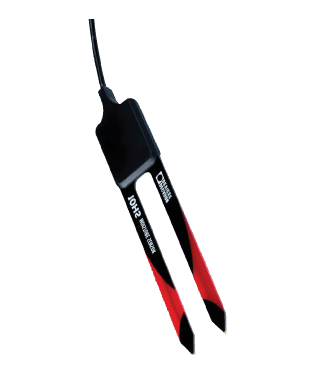
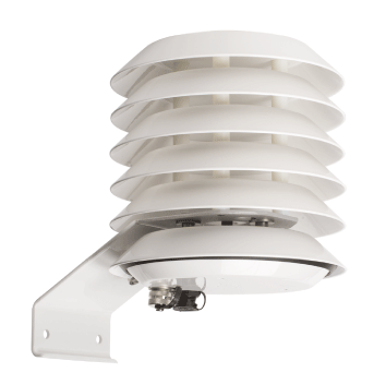
Sensors installation (weather station, soil moisture sensors) or data import from existing stations

Sampling and analysis of soil samples for hydrological characterization of each different homogeneous area

sistema12
sistema13

Informatica Ambientale

Via Giovanni Pacini, 62
20131 - Milano
Italy

+39 (0)2 87067760
info@iambientale.it
https://www.iambientale.it

Contact us

Keeping on navigating this site, you accept the cookie policy. more information

This site uses only technical cookies. If you keep on surfing or you press "Accept" button, you accept the cookie policy. We do not use cookies for marketin purposes (neither internal nor external)

Close